26/07/2022 - 28.88kms / 1662m ascent / 1474m descent
The temperature overnight in the corrie got pretty low which made it a chilly nights sleep. I had thought it might be so prepared by wearing 3 upper layers (t-shirt, long sleeve running top and thin micro fleece), and 2 bottom layers (swim shorts and light cotton shorts)! I have nothing long in the bottom layer department! I was beginning to understand that despite a hot summers day, overnight Pyrenees mountain temperatures drop significantly low, especially at altitude! Yesterday had tired me out, so I slept great from about 9pm to about 4am, but when I woke it was too cold to sleep and it was a long slog to wait until sunrise time. Brrrrrr! Ironically one of the items I left behind in Bidarray was a compact thermal sleeping bag liner! I guess during a severe heatwave I looked at that and thought of course I'd never need it!! So I eased off the self castigation I was embarking upon at 5am when I was reduced to rubbing limbs to get heat from the friction to warm myself!
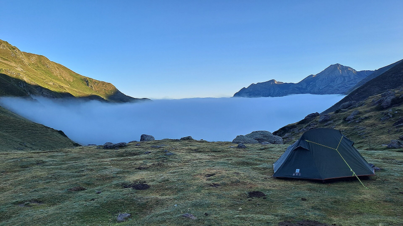
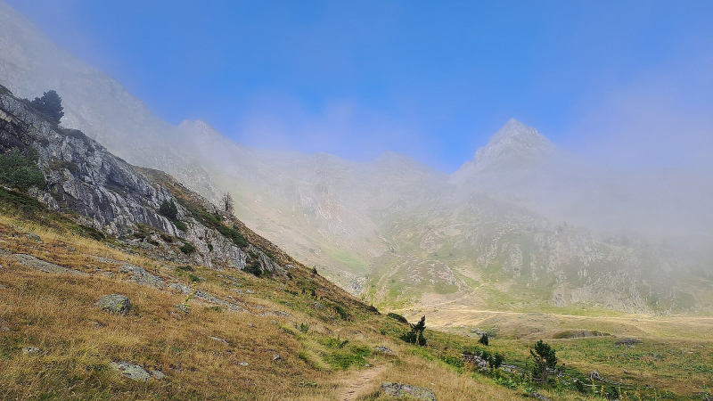
7am and sunrise arrived, but not much heat with it though. I was still in cloud when I emerged from the tent to clean my teeth and relieve the storage of last night's water. Also, direct sunlight wasn't reaching where I was! So, as I was in the middle of nowhere and in no particular rush I decided to wrap up again and read for a bit! Craig choosing to read?!?! An enjoyable half hour later (I still can't manage to read much at a time!), I noticed outlines of cliffs through the tent door mesh. This made me jump nimbly (well, have a little stretch and ease myself) out of the tent to a magical vista. The cloud had retreated down the valley nestling barely 100 to 200m below my altitude, revealing the beauty of this corrie that had been my home overnight. I was in a bowl, surrounded by the the cliffs of Pic d'Ayous (2288m) and Hourquette de Larry (2208m).
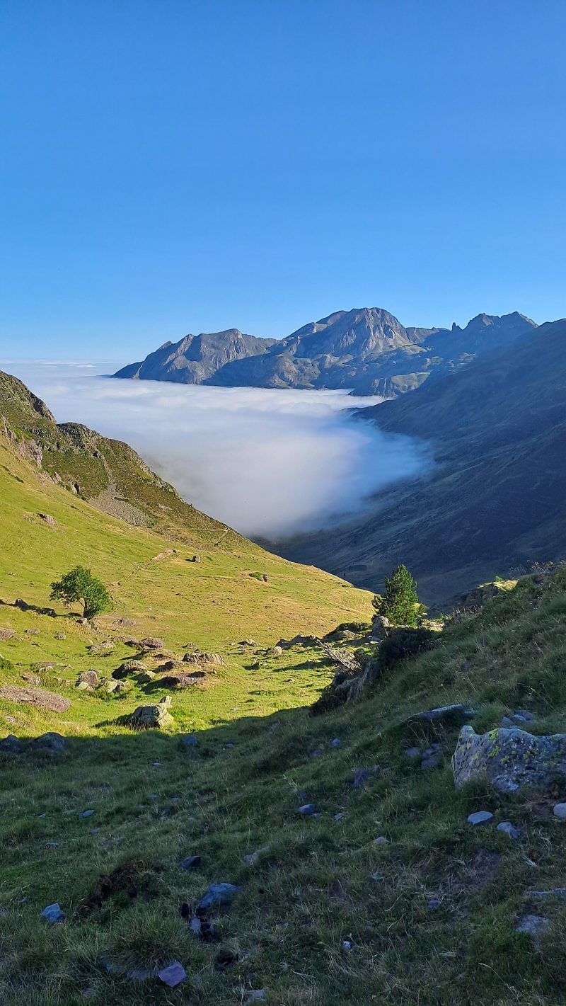
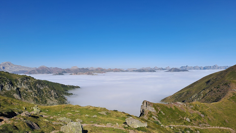
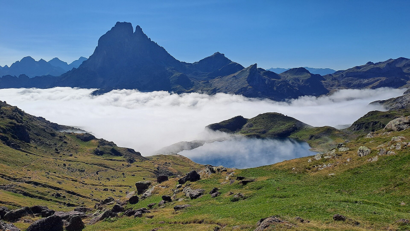
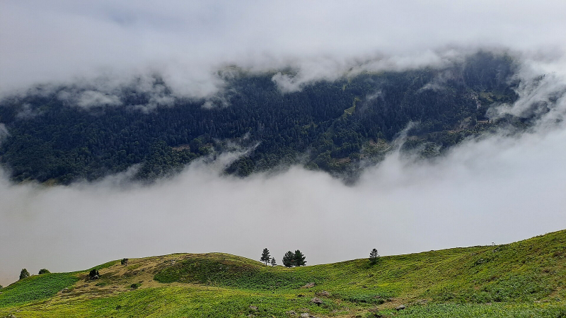
So, with that, it was time to break camp in splendid, awe inspiring isolation. Even my horse friends bells were very distant now. I was excited for another chocolate biscuit breakfast, and with my Reynauds hands kicking in severely with the cold packing away, I got climbing very quickly to the sun line. The clouds were waxing and waning to where I'd camped, before retreating further down the valley. As I warmed up in the glorious feeling of sunshine heat, eating my decadent chocolate biscuit breakfast, I marvelled at the view of the thick cloud below stretching out of the valley and to the horizon, appearing like a white sea with wispy waves. I hope my words convey half of the awe and beauty of it, so that in days in my future when I know I'll need to come back to these moments I can refresh my memory banks.
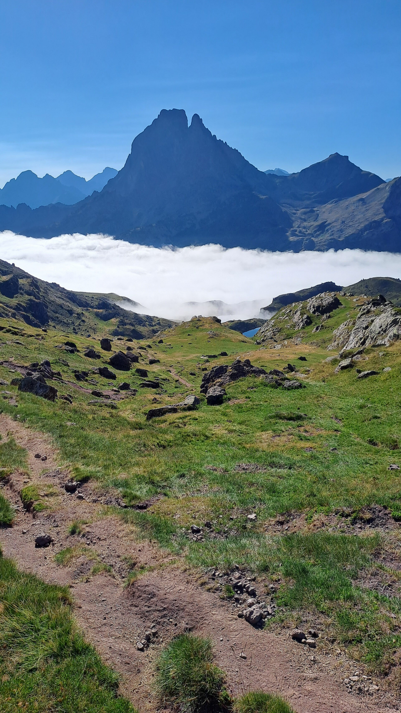
The climb wasn't over, but I was lovely and warm now! The path zig-zagged up towards Col d'Ayous, but I had to keep turning around to check on the ever expanding view over the peaks behind me, and the 'sea' of cloud filling an even wider horizon with the increasing altitude. Col d'Ayous (2185m) arrived after about half an hour and one slight accidental detour off the GR10! On passing over the Col, the view presented to my eyes of the famous Pic du Midi d'Ossau (2884m) was stunning. The cloud had descended low enough to afford me a half hour sat in the sun admiring my surroundings, special.
I had to put a couple of shots of the Pic du Midi d'Ossau (2884m) in!
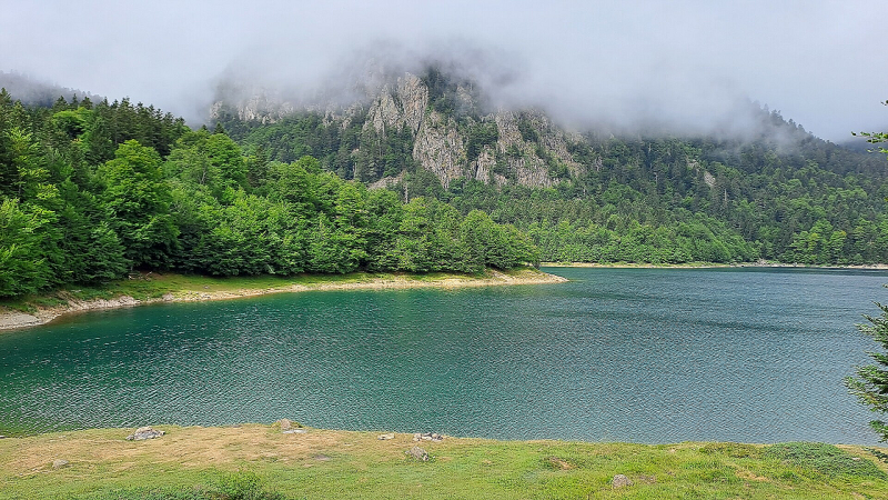
I had to make myself move on, was difficult, but I needed to start covering some distance. After spotting a few beaver type animals (or otter type animals?!!) running through the grassy terrain, Lac Gentau (1965m) came into view with a thin mist hanging just above its turquoise water. The Refuge d'Ayous is on it's shore but I decided to not have a café au lait there as the BROUILLARD was rising again and I really needed to start racking up some kilometres!!
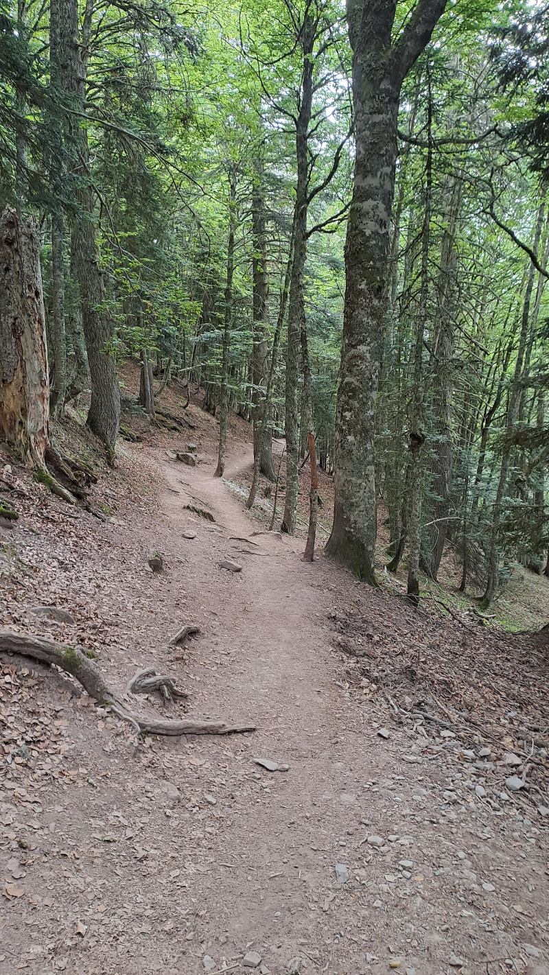
The open path soon became enveloped in cloud and the temperature noticeably dropped. Eventually it entered a forest, and by this time the journey up was being undertaken by many tourists seeking the amazing views I'd just left behind. It's no wonder Pic du Midi d'Ossau is known as the most photographed mountain in the Pyrenees! The trail up from a car park at the far end of Lac de Bious-Artigues is obviously a tourist hot spot for the beautiful walk up to it, but it was nice to be descending instead!
On reaching the Lac de Bious-Artigues I had two café au lait stops! One at the pony trekking centre, and a much better chill out stop at a pretty cool, dare Craig say 'hippy' style bar/restaurant. I was still not racking up these kilometres! Therefore, once I'd stopped chilling and got back to trekking it was a quick march down road all the way to Gabas (1035m).
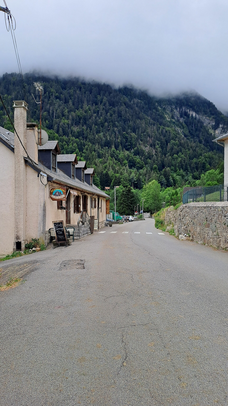
Gabas was a funny old place, no money in it at all, especially when remembering other mountain villages. I passed a closed hotel at the entrance to the village. Would make a great spot if redeveloped. Next was a small but decent Epicerie where I picked up a couple of apples and a container of almonds and mixed dried fruit, a good lunch for the climb ahead. I continued to the end of the village past a closed bar/restaurant offering only local cheese for sale and then another hotel, this one sort of open! Not for rooms, just the bar and local cheese for sale! I settled for another café au lait, this was a strange one! There was a coffee machine, but the brusque lady disappeared with the crockery and returned minutes later with what was a fairly decent café au lait but definitely made in her kitchen as some odd guy faffed about with the coffee bean grinder! This village has seen better days I think! Anyway, was nice to sit outside and chill again, and I would most definitely make haste after this because I wanted to try for a wild camp on the approach to Hourquette d'Arre (2465m). One other thing about Gabas was it seemed Spanish was the default language.
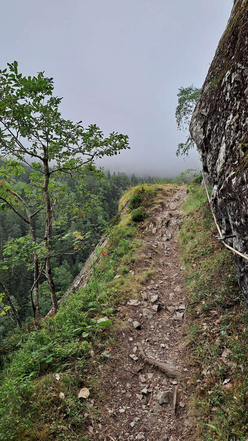
There was a short road climb out of Gabas before the a path took the GR10 through the forested lower slopes of Pic de la Sagette (2031m). After an initial short and steep climb, the path undulated through the trees before it veered off and up towards the Corniche des Alhas. The Corniche des Alhas is a narrow ledge cut out of the rock on near vertical cliffs, with the Gave de Soussouéou at their base far below. It must have been around half a kilometre long and pretty impressive. A steel wire has been bolted into the cliffside for those that need it, I kept a loose hold at the narrowest sections! I do get vertigo in certain situations, but as long as I didn't stare down the big drop to my left I was OK! Being completely alone on it was eerie but fun.
Once passed the Corniche des Alhas and over a bridge crossing a waterfalls of the Gave de Soussouéou, a nice mountain track started climbing steeply from a path junction at 1125m. The path is described as an old miners' path. Now, if this was the commute to work, or even a route to get miners stuff up and down, those people must have had buns of steel! It was a double steep climb, really good fun and interesting as the terrain varied with the climb. At times it was certainly more than 45 degrees on just earth path, with no rocks to provide steps or a 'platform' to push from. I felt really strong up this climb, maybe it was all that chilling out I thought!
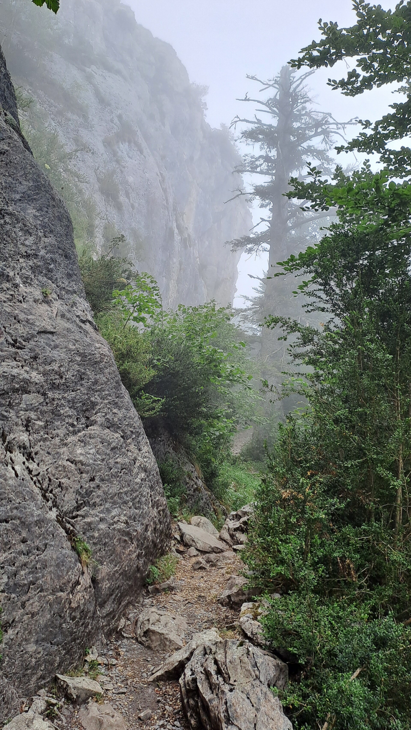
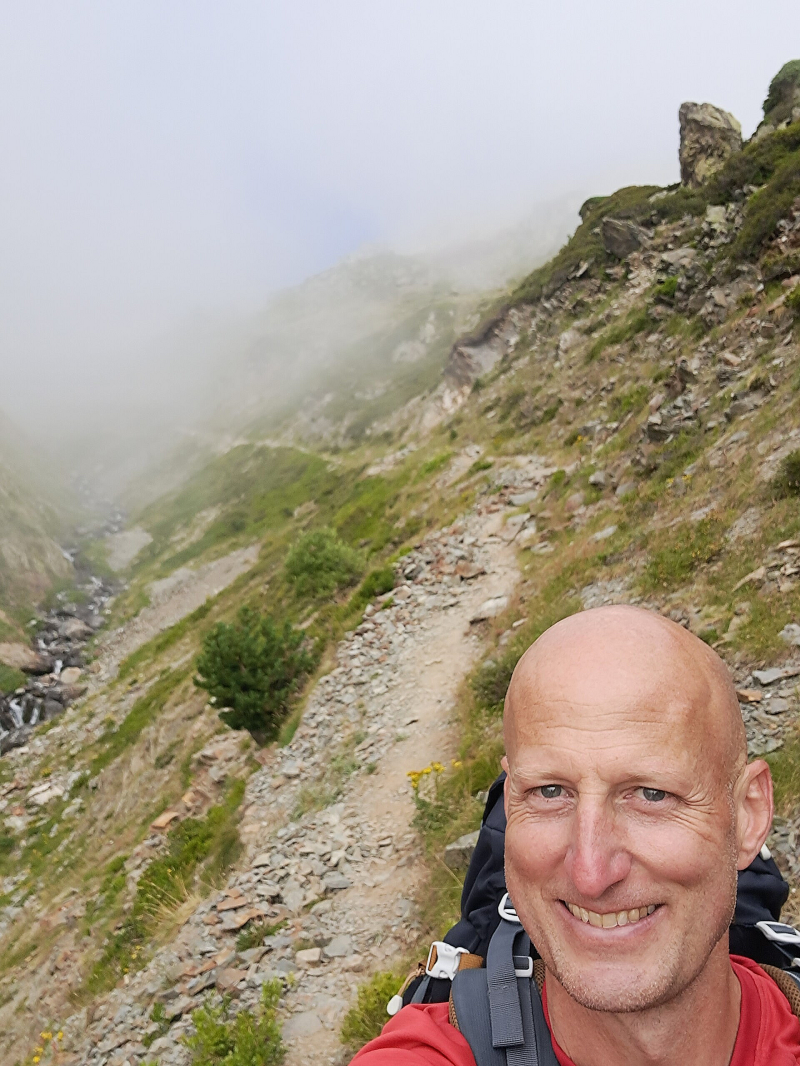
The climb levelled off as it came out of the trees and ran along a ledge adjacent to some limestone cliffs with fairly big overhangs, made for interesting walking as the other side was just BROUILLARD! After some very gentle climbing I arrived at Plateau de Cezy (1610m) where a new variant of the GR10 could be taken. I chatted briefly with a couple already at the junction debating which route to take and showed them my guidebook map (which didn't have it marked) to see if that helped them! They seemed satisfied and headed off into the thick mist of the variant. I, on other hand, decided to stick to the original GR10 because I didn't know anything about the route of the variant, and I wanted to climb Hourquette d'Arre.
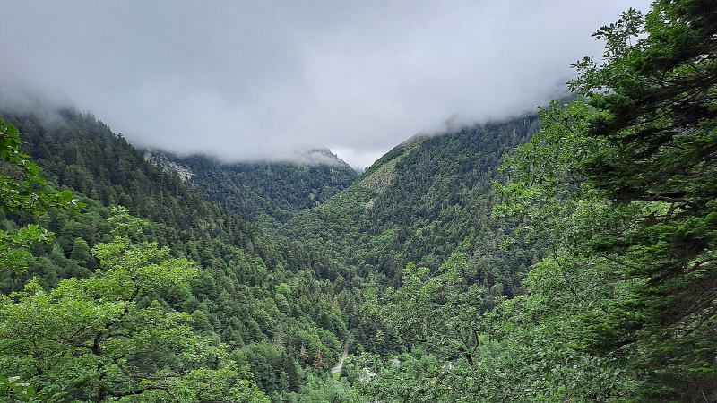
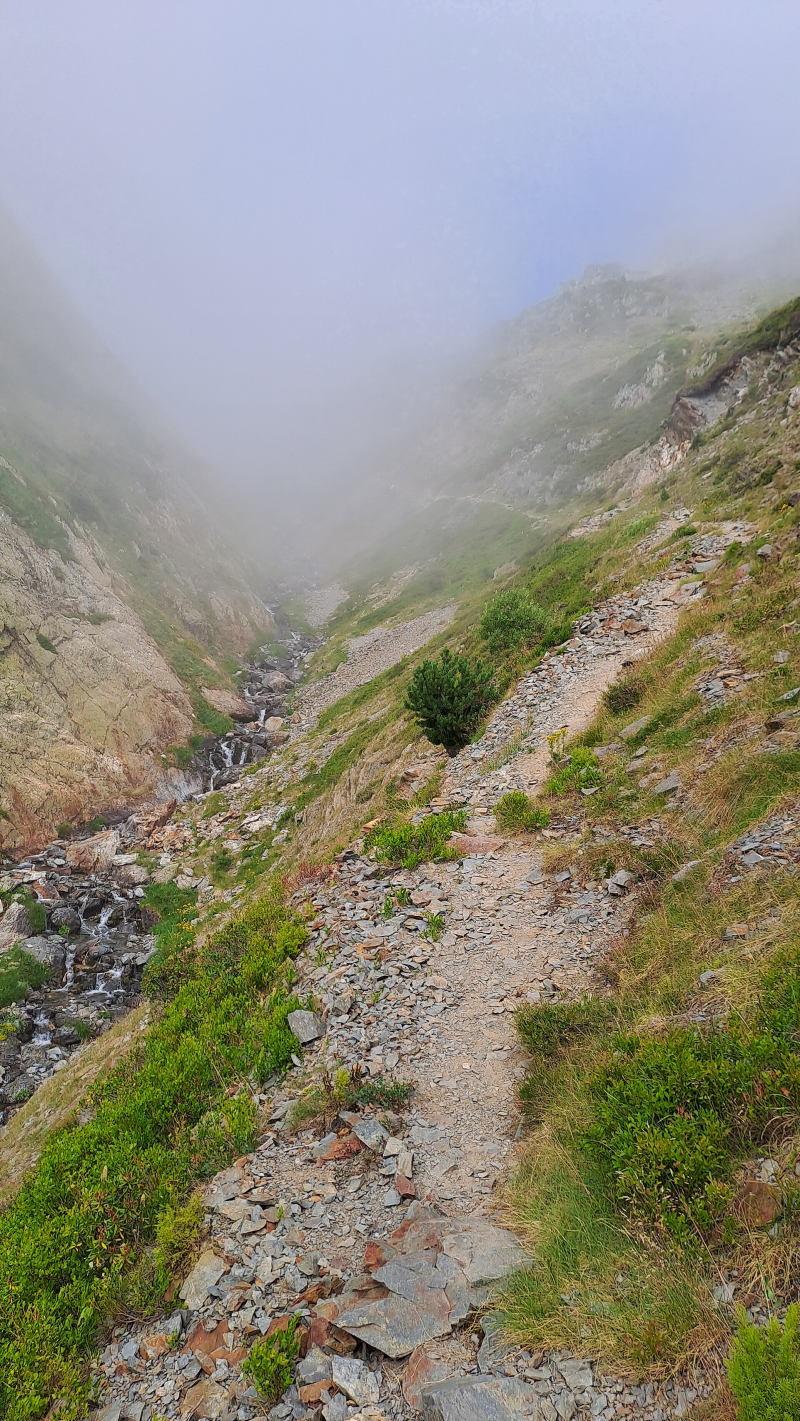
The gentle climb away from Plateau de Cezy (1610m) would've had good views of Vallée du Soussouéou but I'll give you one guess why I couldn't see it below me?!
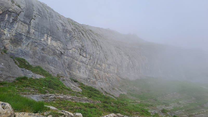
I was happy with my decision and was soon rewarded with a slight break from the BROUILLARD for the next couple of hours! Hooray! The side of the valley I was on, and the sky above had cleared so I could see up the vertical limestone cliffs of Petite Arcizette (2293m), and once round those I could see up Moyenne Arcizette (2390m) and Grande Arcizette (2513m). The Arcizette family were all impressive! The cloud was still hanging over the opposing side of the valley, but to my amusement an almost rectangular 'window' cleared to give me an insight into what had been behind the white all this time. A lovely tree covered section of La Sagette de Buzy (2130m) was visible, and to add to the amusement you could hear Le Petit Train d'Artouste choo-chooing it's horn, or whatever trains choo-choo with?! Reputedly this is the highest train in Europe giving tourists a ride across Pic de la Sagette (2031m) and La Sagette de Buzy (2130m). It doesn't cross the peaks! Anyway, it has a good choo-choo!
The break from thick BROUILLARD was brief, but a nice relief from the visual white wall!
Once Grande Arcizette (2513m) was to my left the path started to climb more steeply up towards Hourquette d'Arre. The trio of peaks ahead provided a spectacular backdrop - Pic d'Amoulat (2549m), Arre Sourins (2614m) and Géougue d'Arre (2619m). Hourquette d'Arre is the pass between Arre Sourins and Géougue d'Arre, which was to be climbed tomorrow morning.
I had covered a lot of distance and tiredness was setting in. I had targeted an area to camp at about 2100m on a bit of what I hoped was flat ground in the corrie before the clamber up Hourquette d'Arre. I didn't know what it would be like up there though, so as I rounded a corner between two steep climbs I passed some people who had set up to camp next to the stream coming down from the peaks. There was some OK ground which I briefly considered, but something told me there was better above, and then less to climb tomorrow!
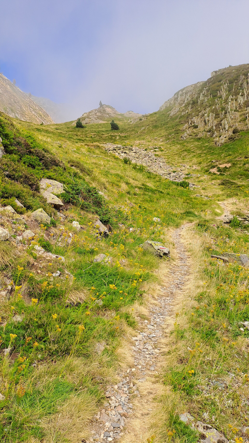
So, a final push up a really steep but fun path above the right side of the stream and I found the spot. The Mines d'Arre area at 2091m, as helpfully indicated by a GR10 waymarker post! It was amazingly flat, and had great grass for pegs! There was also a little stream to wash in and for water, and despite the gathering BROUILLARD I knew I was located in a corrie surrounded by the trio of aforementioned giant and stunning peaks - Pic d'Amoulat (2549m), Arre Sourins (2614m) and Géougue d'Arre (2619m). Perfect spot!
I settled into the tent quickly as the temperature dropped very quickly in the BROUILLARD and now sunless corrie. It got very cold up there before it was time to sleep, and as I waited for tiredness to take over my cold-concetrated mind, I resolved to definitely source a new thermal liner and beanie. I didn't want to suffer like this overnight on the journey. I knew tonight was going to be a long and tough one!


Add comment
Comments